About Geographical Sciences
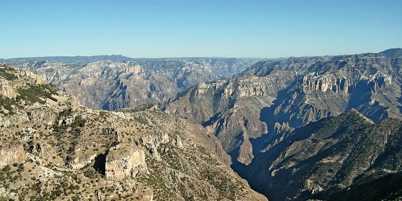
UBC's geographical sciences program focuses on the fundamental interactions between life and Earth’s atmosphere, hydrosphere and geosphere. It asks the big questions about the future of Earth’s life, climate and landscapes. You'll build on a broad base in the basic sciences by completing course in areas such as biogeography, climatology, geographic information science, geomorphology or hydrology. The first two years of the program allow you to develop a broad scientific base and explore your interests before specializing in at least two of five areas: biogeography and ecology, climate and weather, remote sensing, hydrology and geomorphology.
Program Details
UBC Geography has cartographic, computing, technical services and computer labs specifically for the use of undergraduate students. Field-based research is an integral component of the program--you'll take field trips in nearly all upper-level courses and complete technical training.
Skills
- Application of knowledge about physical environments and spatial relations
- Geo-spatial data analysis
- Designing and creating maps/graphs
- Designing, planning and managing projects
- Surveying and field sampling
- Evidence-based approach to researching, consulting and advising
- Technical report writing and accurate maintenance of field notebooks
- Technical knowledge in using geographic information systems (GIS), cartography, statistics, remote sensing, MATLAB, Python, R, Jupyter Notebooks, and computer coding
Specializations offered
- Major, Geographical Sciences