Study re-evaluates hazards and climate impacts of massive underwater volcanic eruptions
April 11, 2023

April 11, 2023

Material left on the seafloor by bronze-age underwater volcanic eruptions is helping researchers better understand the size, hazards and climate impact of their parent eruptions, according to new research from the University of British Columbia.
Roughly 3,600 years ago, the eruption of a semi-submerged volcano in the southern Aegean Sea devastated the island of Santorini, injecting ash, rocks and gas into the atmosphere and depositing kilometres of sediment in terraces on the seafloor.
The catastrophic eruption, and others like it, have traditionally been associated with abrupt climate shifts. But the minor climate impacts of more recent underwater volcanic eruptions, like that of Hunga Tonga-Hunga Ha’apai in 2022, have put that theory in doubt.
Now a multi-year study of ancient Santorini volcano deposits is unravelling the nature of these massive caldera-forming eruptions, and providing new clues as to how future eruptions might impact Earth’s climate.
During massive eruptions, volcanic eruption columns pass through shallow seas as jets of ash, rocks and gases that rise tens of kilometres into the atmosphere. But exactly how, and how much, of that material is then delivered to the sea surface or ground has remained unclear.
“We’ve proved the architecture of volcanic deposits in subaerial and submarine settings can be used to quantitatively constrain the dynamics of the eruption that occurred there, including the vent source and environmental conditions,” said University of British Columbia (UBC) researcher Dr. Johan Gilchrist, lead author the study published in Nature Geoscience.
“The study also provides crucial lower bounds on eruption strength, jet heights and frequencies and sizes of the sedimentation waves linked to terraced deposits. That will help us predict the evolution of hazards during these caldera-forming eruptions and understand the surprisingly small climate impact of similar events.”
With UBC Earth and planetary scientist Dr. Mark Jellinek, Dr. Gilchrist analyzed the concentric terraces that remain around the Santorini caldera—historically called the Minoan eruption. They discovered that the terrace widths decrease with increasing distance from the vent, and slope backwards up towards the caldera wall, consistent with other terraced caldera deposits. The terraces near the caldera wall are also much broader than those found in caldera from purely submarine or subaerial eruptions.
Dr. Gilchrist had a hunch that sedimentation waves collapsing periodically around the volcanic jet spread where they impacted the water surface during shallow submarine eruptions.
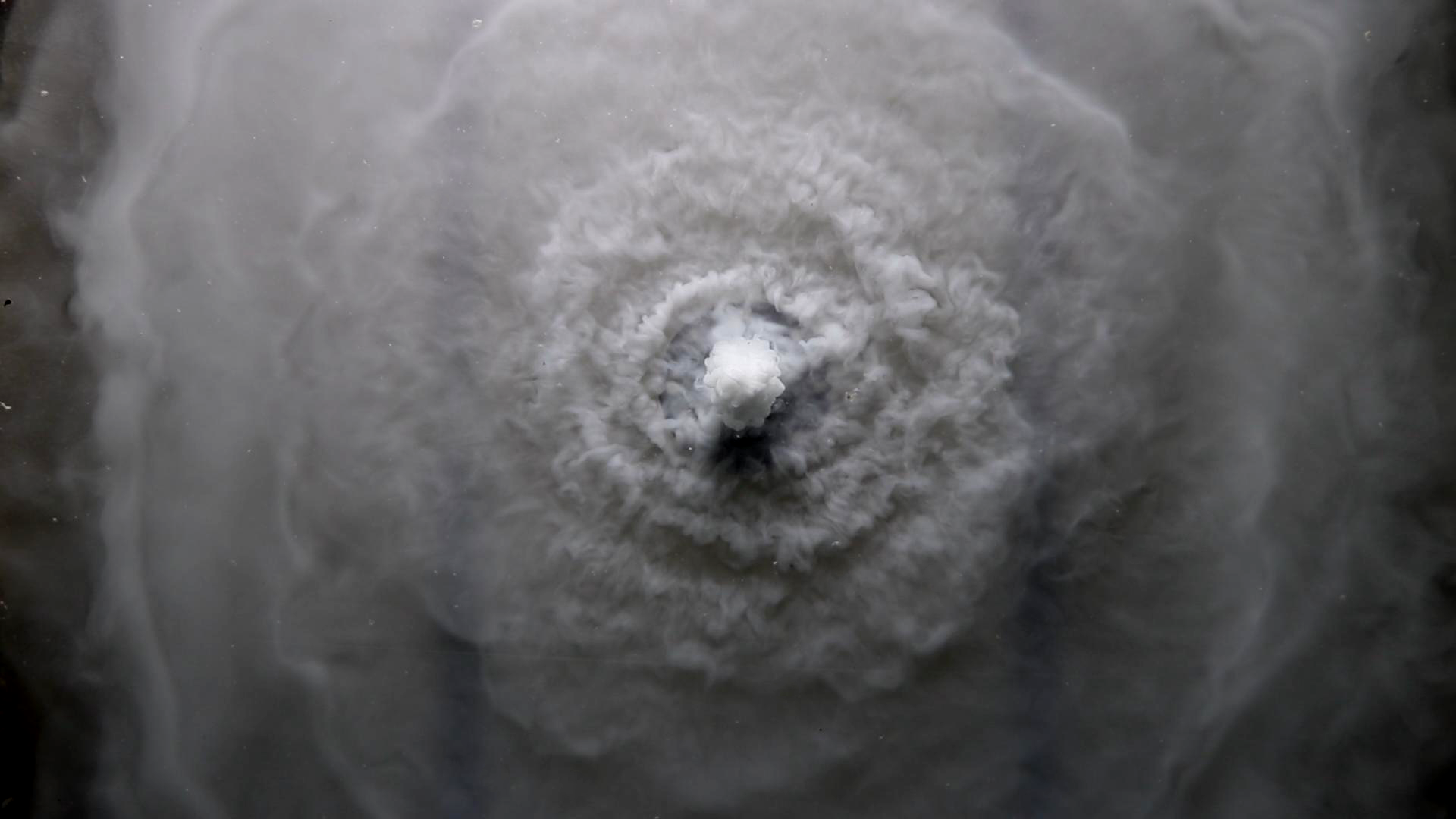
To verify the hypothesis, the researchers injected particles into shallow water layers to mimic the submarine Minoan eruption. The experiments proved the descending sedimentation waves caused by shallow water eruptions can impact and spread at the sea surface to create tsunamis and also scour the seafloor, depending on the eruption strength and water depth.
The terraced deposits left a fingerprint outlining what happened during the eruption, the size of the sedimentation waves, and how they interacted with the water and seafloor.
“The limits this study has uncovered will guide a next generation of hydrovolcanic climate models aimed at understanding how the mass partitioning properties of eruptions like Hunga Tonga-Hunga Ha’apai—as well as the largest and most impressive volcanic phenomena in the geological record—minimize their effects on climate change,” said Dr. Jellinek.
Added Dr. Gert Lube, a volcanologist with Massey University not involved in the study: "For the case of three submarine caldera-forming eruptions, this study provides the first direct relationships between the deposit architecture and parental eruption conditions. The results of this study are intriguing and could possibly be extended to non-marine, caldera-forming and smaller eruption events.”
We honour xwməθkwəy̓ əm (Musqueam) on whose ancestral, unceded territory UBC Vancouver is situated. UBC Science is committed to building meaningful relationships with Indigenous peoples so we can advance Reconciliation and ensure traditional ways of knowing enrich our teaching and research.
Learn more: Musqueam First Nation